Description
Garmin HuntView Plus Map Cards
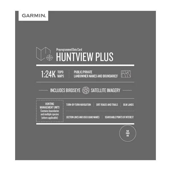
Bring the outdoors to life with Garmin HuntView™ Plus Map Cards, designed specifically for hunters and outdoor adventurers. Each card provides detailed land ownership data, public/private boundaries, topographic maps, and rich satellite imagery — so you always know where you stand in the field.
Key Features:
-
Landowner Information: Identify land boundaries and property owners, including private, federal, state, and local lands.
-
Public Land Data: See boundaries for national forests, BLM, state wildlife areas, and more.
-
Topographic & Satellite Maps: Combines detailed 1:24K topo maps with high-resolution aerial imagery.
-
Hunt-Specific Details: Includes hunting management units (where applicable) to help plan your hunts more efficiently.
-
Plug-and-Play Ready: Preloaded microSD™ card — simply insert into your compatible Garmin handheld or dog tracking device.
-
Coverage: Available by individual U.S. state.
Compatible With:
Garmin Alpha®, Astro®, Montana®, Oregon®, GPSMAP® and other compatible handhelds and navigators.
Perfect For:
Hunters, anglers, and outdoor enthusiasts who need precise boundary awareness and high-quality mapping in the field.

